Photo Album: Skyline Trail Photos
Skyline Trail Work Day Report - November 4, 2023
Prepared by Hank Magnuski, The Trail Center
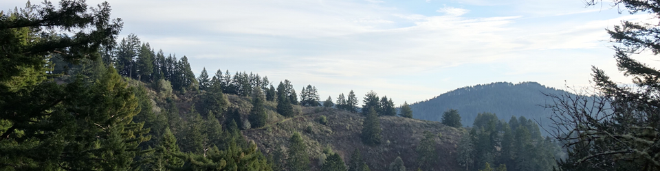
The Bay Area Ridge Trail service day is an annual event where many groups and trail organizations come out and spend a day fixing the Bay Area Ridge Trail, a 400+ mile (eventually 550) trail circumnavigating the whole Bay Area.
Thanks to the scouting work of Judd Volino and approval by our agency partner, San Mateo County Parks, the Trail Center was able to pull together a service project on the Skyline Trail just North of the Wunderlich Park boundary. The work involved clearing duff and debris from the tread to widen it and to recenter the tread which was, in many places, getting dangerously close to the outside, downhill edge.
We were very fortunate to have thirty volunteers, four crew leaders, two staff, a trail boss and two representatives from the Ridge Trail Council show up for the day. We sincerely thank all those who took time out of their Saturday to come to help on this project.
During the morning announcements the Trail Center was very pleased to award red Crew Leader shirts to Jennifer Lange and Sam Warring who have been training with us over the last year. We thank them for their service and willingness to participate as our newest crew leaders.
Four crews were formed and assigned to work at various spots on the first half mile of the project. Earlier, Judd Volino had prepped many spots on the trail for easy brushing by cutting vines and brambles with an electric trimmer. It made cleanup of those sections go much faster.
A few days before the event we found out that a 35K and 50K major race was scheduled for the same day as our work. Not the best plan, for sure, but we could live with it. The trail crews were very supportive of the runners and cheered them on as they passed.
The highlight of the day was having a volunteer strike an unseen ground nest of yellow jackets. In an instant a swarm was attacking the volunteers, trail runners and even the Trail Boss. Crew Leader Helen Shaugnessy was on it immediately, diving into our first aid kit for meds and lotions. Fortunately, the allergic reactions were local and none of the victims had to depart for the day.
The Trail Boss, however, made a decision that no crews would pass the war-zone nest and that meant we had to reroute and shuttle all volunteers to the North end of the work area to continue the project. We managed to arrange that and enjoyed a Chipotle burrito lunch together at the Molder Trailhead while we were waiting for all crews to re-assemble.
We worked until around 2:30 and despite the reroute got roughly 95% of the original plan done. There are some reports of serious damage to the tread just North of the Molder Trail junction and we'll need to finish up the last one-fifth mile of undone work, so it looks like another project day or bonus day will be in the works.
We finished the day with our usual refreshments and a raffle with prizes provided by the Trail Center and the Bay Area Ridge Trail.
The Trail Center wishes to sincerely thank Susan Kelso for hauling the lunch burritos to us and being very flexible about our change in plans, Ryan Mack for being the Ridge Trail representative and helping out in many different ways during the day, and Natalia Cortes for coordinating plans and volunteers for the Ridge Trail Council. A shout out also goes to the Midpeninsula Regional Open Space District for use of their El Corte de Madera parking area.
Respectfully submitted,
Hank Magnuski
Project Supervisor